Warnings
4:32 AM EST Sunday 15 February 2015
Extreme Cold Warning and Blowing Snow in effect for:

- Niagara Falls – Welland – Southern Niagara Region
- St. Catharines – Grimsby – Northern Niagara Region
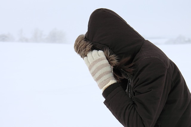
A prolonged period of very cold wind chills is expected.
Bitterly cold arctic air combined with gusty north winds will result in extreme wind chill values of minus 30 to minus 40 today. The coldest wind chills will be this morning before the winds finally begin to diminish later today.

Tonight will once again be very cold. Although the winds will be considerably less than those today, wind chill values tonight and Monday morning are still expected to be between minus 30 and minus 35.
People outdoors should exercise extreme caution. Frostbite on exposed skin may occur in just a few minutes.
FORECAST FOR NIAGARA
- Today
-
A few flurries ending late this afternoon then mainly cloudy. Local amount 2 to 4 cm. Local blowing snow. Wind northwest 40 km/h gusting to 60 diminishing to 20 late this afternoon. High minus 18. Wind chill minus 33.
- Tonight
-
Partly cloudy. Wind northwest 20 km/h becoming light before morning. Low minus 22. Wind chill minus 30.
- Monday
-
A mix of sun and cloud. Wind up to 15 km/h. High minus 15. Wind chill minus 30.
- Tuesday
-
Cloudy with 40 percent chance of flurries. Low minus 18. High minus 8.
- Wednesday
-
A mix of sun and cloud with 40 percent chance of flurries. Low minus 9. High minus 7.
- Thursday
-
A mix of sun and cloud with 30 percent chance of flurries. Low minus 16. High minus 11.
- Friday
-
A mix of sun and cloud. Low minus 14. High minus 9.
- Saturday
-
Cloudy with 40 percent chance of snow. Low minus 9. High minus 3.
To receive similar content, “Like” us on Facebook @ https://www.facebook.com/niagarabuzz.ca