


Today’s snow storm will continue to blaze through the region and Environment Canada says storm warnings are in effect for the areas of: Niagara Falls – Welland – Southern Niagara Region – St. Catharines – Grimsby – and the Northern Niagara Region until tonight.
DETAILS OF STORM…

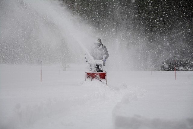
A weather system tracking south of the Great Lakes has brought a significant snowfall to the Niagara Peninsula. Strong and gusty northeasterly winds are picking up extra moisture from Lake Ontario, resulting in snow heavy at times for many areas today and tonight.
Widespread total snowfall amounts of 20 to 30 cm are expected, with a few locally higher amounts possible.
Strong and gusty northeasterly winds will whip up the freshly fallen snow resulting in widespread very low to at times nil visibility in blowing snow.
Dangerous winter driving conditions are expected to continue today and tonight. Travel is not recommended.
The snow will end on Wednesday morning as the winter storm moves away to the northeast.
Consider postponing non-essential travel until conditions improve. Now, here is a look at a more detailed forecast for the upcoming days ahead…
Today there will be a hnigh of minus 5, tonight we will see gusty winds and a high of minus 9. Looking ahead at the forecast:
Wed
Periods of light snow ending in the morning then a mix of sun and cloud. Local blowing snow in the morning. Wind northwest 40 km/h gusting to 70. High minus 3.
Night
Cloudy periods. Low minus 10.
Thu
A mix of sun and cloud. High zero.
Night
Cloudy periods. Low minus 7.
Fri
Increasing cloudiness. High plus 3.
Night
Cloudy with 60 percent chance of flurries or rain showers. Low minus 2.
Sat
Cloudy with 30 percent chance of rain showers or flurries. High plus 2.
Night
Cloudy periods. Low minus 4.
Sun
A mix of sun and cloud. High plus 2.
Night
Cloudy periods. Low minus 3.
To receive similar content, “Like” us on Facebook @ https://www.facebook.com/niagarabuzz.ca