Special weather statement in effect for:

- Niagara Falls – Welland – Southern Niagara Region
- St. Catharines – Grimsby – Northern Niagara Region
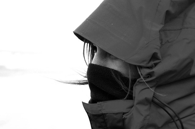
The coldest weather we have seen thus far is expected for the return to work and school this week according to Environment Canada thanks to a fresh frigid arctic airmass. Extreme cold warnings will likely be required at times during the week due to the combination of cold temperatures and brisk winds.
Temperatures will be well below average for early January. Minimum temperatures of minus 20 or below on the coldest days are likely, except for locales right along the shorelines of the Great Lakes and across Southwestern Ontario where temperatures may bottom out in the minus 15 to minus 20 range. Over Eastern Ontario and Algonquin a few minus 30 degree readings are quite possible on Thursday morning.

Significant snow squalls will affect areas to the southeast of the Great Lakes at times. Snow squall watches and warnings are in effect for these regions. Meanwhile, remaining regions will see varying amounts of sun and cloud, with scattered flurries and biting cold winds expected.
To receive similar Weather Report updates, “Like” us on Facebook @ https://www.facebook.com/niagarabuzz.ca