


Special weather statement in effect for:
- Niagara Falls – Welland – Southern Niagara Region
- St. Catharines – Grimsby – Northern Niagara Region
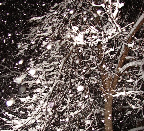
A significant snowfall on tap for much of the Golden Horseshoe, Central and Eastern Ontario. Over Southwestern Ontario snow today then some freezing precipitation tonight and Sunday morning turning back to snow later Sunday.
Disturbances tracking southeastward along a sharp Arctic front stalled over Extreme Southwestern Ontario will bring active winter weather this weekend.

1. For areas near and northeast of a line from Orillia to Oshawa, periods of snow are expected today through Sunday. Many areas in a swath of regions extending from Georgian Bay to Eastern Lake Ontario will receive a total of 15 to 25 cm by Sunday evening. Further northeast over a swath of regions extending from Algonquin Park across the National Capital Region to Cornwall total snowfall amounts of 10 to 15 cm are expected by Sunday evening. In general snowfall amounts will be just under the warning criterion of 15 cm per 12 hours.
2. For a swath of regions extending from Grey – Bruce to Barrie southeast across the Toronto and Hamilton areas into Niagara, a few centimetres of snow are expected today. However the snow is expected to become mixed with or change over to ice pellets for a few hours tonight into Sunday morning, before changing back to snow later on Sunday. Hence total snow accumulations will likely be in the 10 to 15 centimetres by Sunday evening.
3. For regions extending from Southern Lake Huron across the London and Kitchener areas to near Lake Erie from Elgin County to Dunnville, a general snowfall of 2 to 5 cm is expected today. However tonight, the precipitation will change over to various mixtures of ice pellets, some freezing rain, and perhaps some snow tonight into Sunday morning before changing back to all snow later on Sunday as much colder Arctic air returns. Total snow accumulations will likely be in the 5 to 10 centimetre range by Sunday evening.
Driving conditions are expected to quickly deteriorate as the snow arrives today. Motorists should be prepared for hazardous winter driving conditions and adjust travel plans accordingly.
There remains some uncertainty as to the exact location of the heaviest snow and freezing precipitation. There is also some potential for higher amounts of snow beginning on Sunday over areas near Lake Ontario and into the St Lawrence Valley.
Environment Canada is closely monitoring this complicated weather situation. Warnings may be issued as required.
SOURCE: Environment Canada
To receive similar updates, “Like” us on Facebook @ https://www.facebook.com/niagarabuzz.ca