


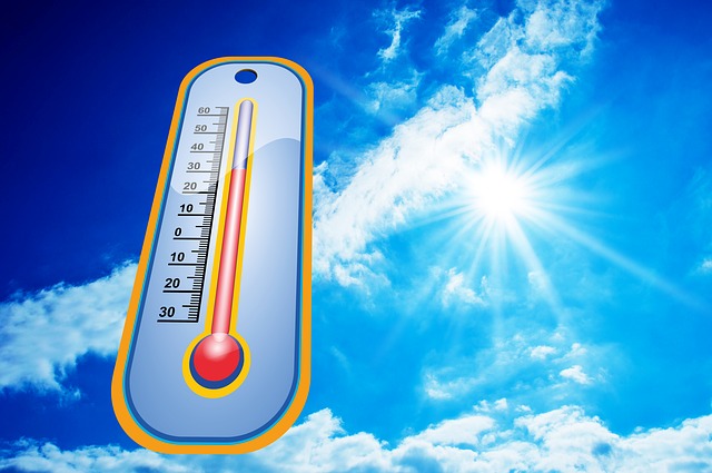
A hot airmass will continue to dominate Southern Ontario today through Wednesday. Daytime highs in the low thirties are expected with warm overnight minimum temperatures near 20 degrees for the regions with heat warnings. For the regions without heat warnings in southern Ontario, their daytime highs are also expected to be in the low thirties, but the overnight low temperatures are forecast to stay a couple of degrees shy of the heat warning threshold.
The hot weather conditions may ease somewhat in many places on Thursday, but may persist in the Greater Toronto area.
Watch for symptoms of heat illness, which include – dizziness or fainting, nausea or vomiting – headache – rapid breathing and heartbeat – extreme thirst and – decreased urination with unusually dark yellow urine. If you experience any of these symptoms during extreme heat, immediately move to a cool place and drink liquids. Water is best.
Frequently visit neighbours, friends and older family members, especially those who are chronically ill, to make sure that they are cool and hydrated.
Never leave people or pets in your care inside a parked vehicle or in direct sunlight.
Heat warnings are issued when very high temperature or humidity conditions are expected to pose an elevated risk of heat illnesses, such as heat stroke or heat exhaustion.

Now for the forecast :
Today

Sunny. High 32 except 28 near Lake Ontario. UV index 8 or very high.
Tonight
Clear. Low 20.
Wed
Mainly sunny. Increasing cloudiness late in the afternoon. Wind becoming southwest 20 km/h late in the morning. High 32.
Night
Cloudy periods with 30 percent chance of showers. Low 22.
Thu
A mix of sun and cloud. High 29.
Night
Clear. Low 19.
Fri
Sunny. High 29.
Night
Clear. Low 21.
Sat
A mix of sun and cloud with 30 percent chance of showers. High 25.
Night
Cloudy periods with 30 percent chance of showers. Low 18.
To receive similar content, “Like” us on Facebook @ https://www.facebook.com/niagarabuzz.ca